.avif)

W3 Regulatory Zone (Al-Nasr Suburb)


Legal and regulatory identity
- Owner and supervisor: The Aleppo City Council, in coordination with the Ministry of Local Administration and Environment.
- Infrastructure contractor: The Syrian Corporation for Construction and Building (SEBCO), operating under official contracts signed with the city council.
- Stated objective: To resolve zoning plans in Aleppo that remained delayed for over three decades, and to provide a regulated alternative addressing the city's housing shortage.
- Legal framework: The project is classified under the "General Master Plan of Aleppo City" as an approved and ministerially ratified urban expansion zone.
Location and area
- Location: On the western periphery of Aleppo, extending into the lands west of the Jamiyat al-Zahraa (Al-Zahraa Association) neighborhood.
- Distance from downtown: The project borders sit approximately 7.5 kilometers from Aleppo's city center.
- Total land area: The expansion zone covers a designated area of 240 hectares.
Scale, capacity, and design
- Total land plots: The master plan incorporates 930 regulatory plots zoned for residential development.
- Zoning layout: The development area is divided into 4 adjacent sub-projects (zones or neighborhoods) numbered 1 through 4.
- Housing capacity: The planned maximum capacity is designed to accommodate approximately 14,000 apartments.
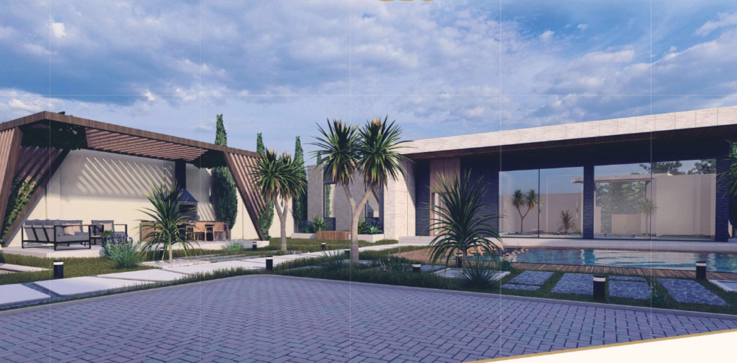
- Building types: Approved permits include detached villas, semi-detached twin houses, detached apartment blocks, and interconnected multi-family buildings.
- Height limits: Regulated building heights range between a minimum of 4 stories and a maximum of 8 stories.
Infrastructure (latest field updates)
- Road works progress: Engineering committees reported the completion of approximately 70% of the grading, opening, and leveling of primary road networks. Heavy machinery operations are currently concentrated in Zones 2 and 3 due to their proximity to Jamiyat al-Zahraa, after which operations will shift to Zones 1 and 4.
- Utility integration: Technical studies and field reviews are underway to begin laying underground networks for drinking water, electricity, telecommunications, and sewage.
- Stormwater separation: The design separates the municipal sewage network from the rainwater drainage network. Collected rainwater is to be directed to irrigate the suburb's green belts and public parks, or drained toward Aleppo's southern countryside.
Planned public amenities
To serve the projected 14,000 families, the W3 master plan reserves municipal blocks for community facilities, including:
- Public schools for various educational stages.
- Central mosques.
- Community healthcare clinics and medical centers.
- Public gardens, parks, and green spaces.
- Commercial markets and shopping areas.
- Public squares and designated parking lots.
Frequently Asked Questions
Where is the W3 zone located?
It is on the western periphery of Aleppo, west of the Jamiyat al-Zahraa (Al-Zahraa Association) neighborhood, approximately 7.5 kilometers from the city center.
How large is the project and how many plots does it include?
The expansion zone covers 240 hectares and incorporates 930 regulatory plots zoned for residential development.
What is the planned housing capacity?
The plan is designed to accommodate approximately 14,000 apartments across 4 zones numbered 1 through 4, with building heights from 4 to 8 stories.
Who supervises and builds the project?
The Aleppo City Council supervises the project in coordination with the Ministry of Local Administration and Environment, while the Syrian Corporation for Construction and Building (SEBCO) carries out the infrastructure works under official contracts.
Gallery :