.avif)
Find & Read
No items found.

.avif)
.avif)
.avif)
.avif)
.avif)
.avif)

.svg)
Bio
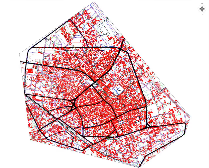
Daraya lies on the south-western edge of the Damascus Ghouta, inside Rural Damascus Governorate and only a short drive from the centre of the capital. That position shaped the town twice over: it was a residential settlement for people whose working lives were tied to Damascus, and a market town in its own right. The same proximity is what gives its rebuilding an unusual economic weight, since work carried out here is work carried out at the gates of the country's largest consumer market.
Two trades carried Daraya's name beyond its own boundaries. The first is furniture: its carpentry and joinery workshops supplied households across the Damascus area and made the town a destination for anyone furnishing a home. The second is agriculture, in the vineyards and orchards on its fringes, whose grapes were associated with the town nationally. Around these sat the ordinary fabric of a mid-sized Syrian city — schools, health facilities, a road grid, municipal services and heritage buildings.
Damages
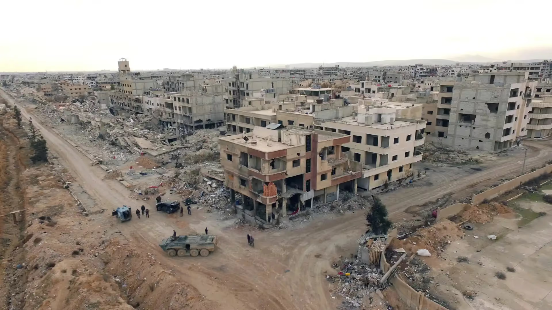
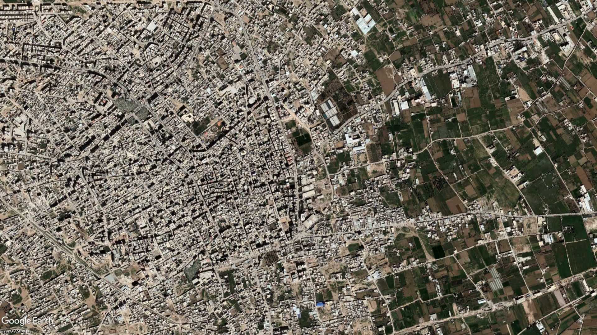
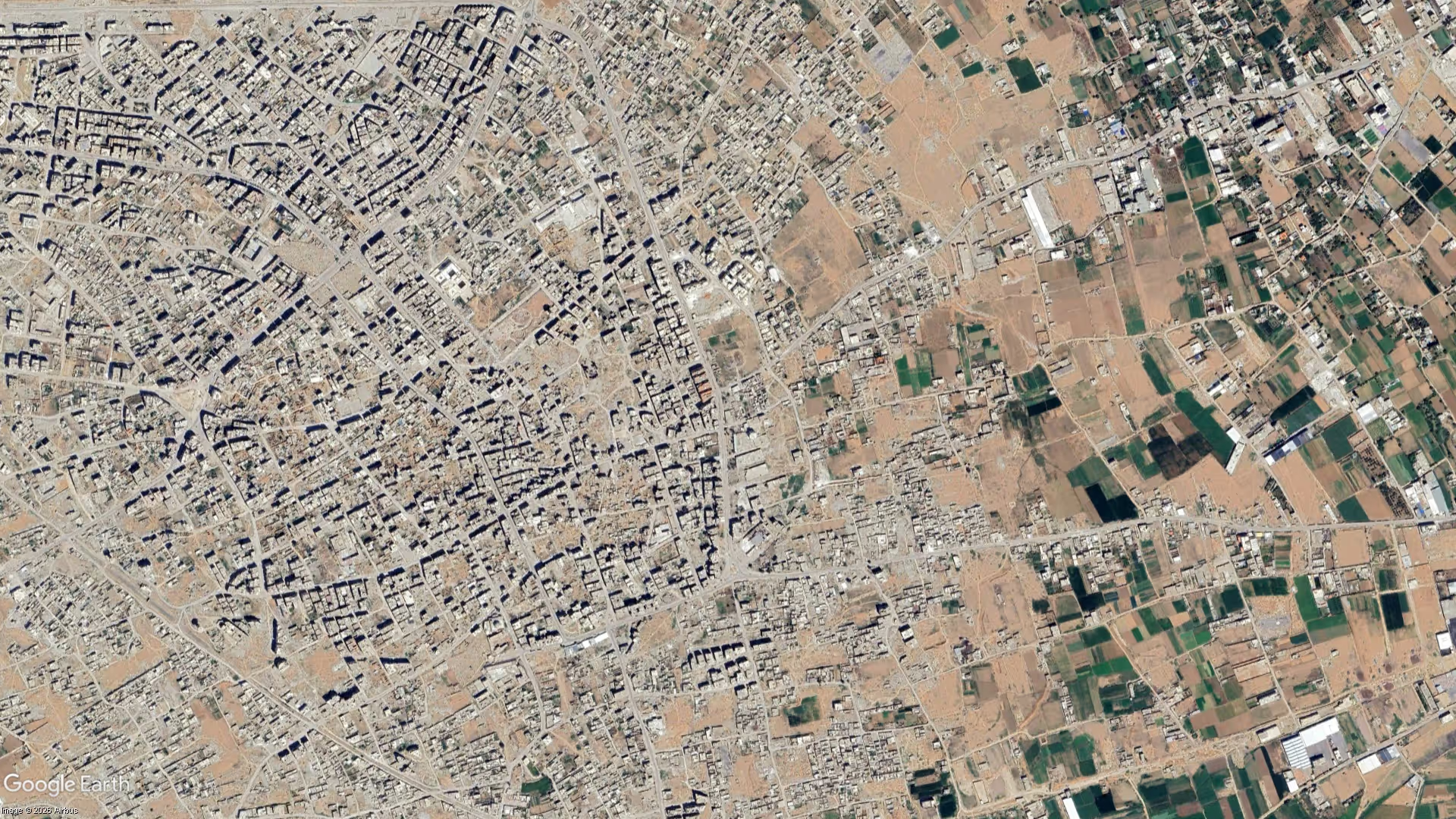
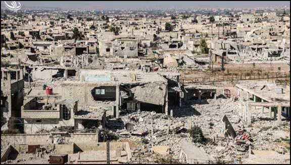
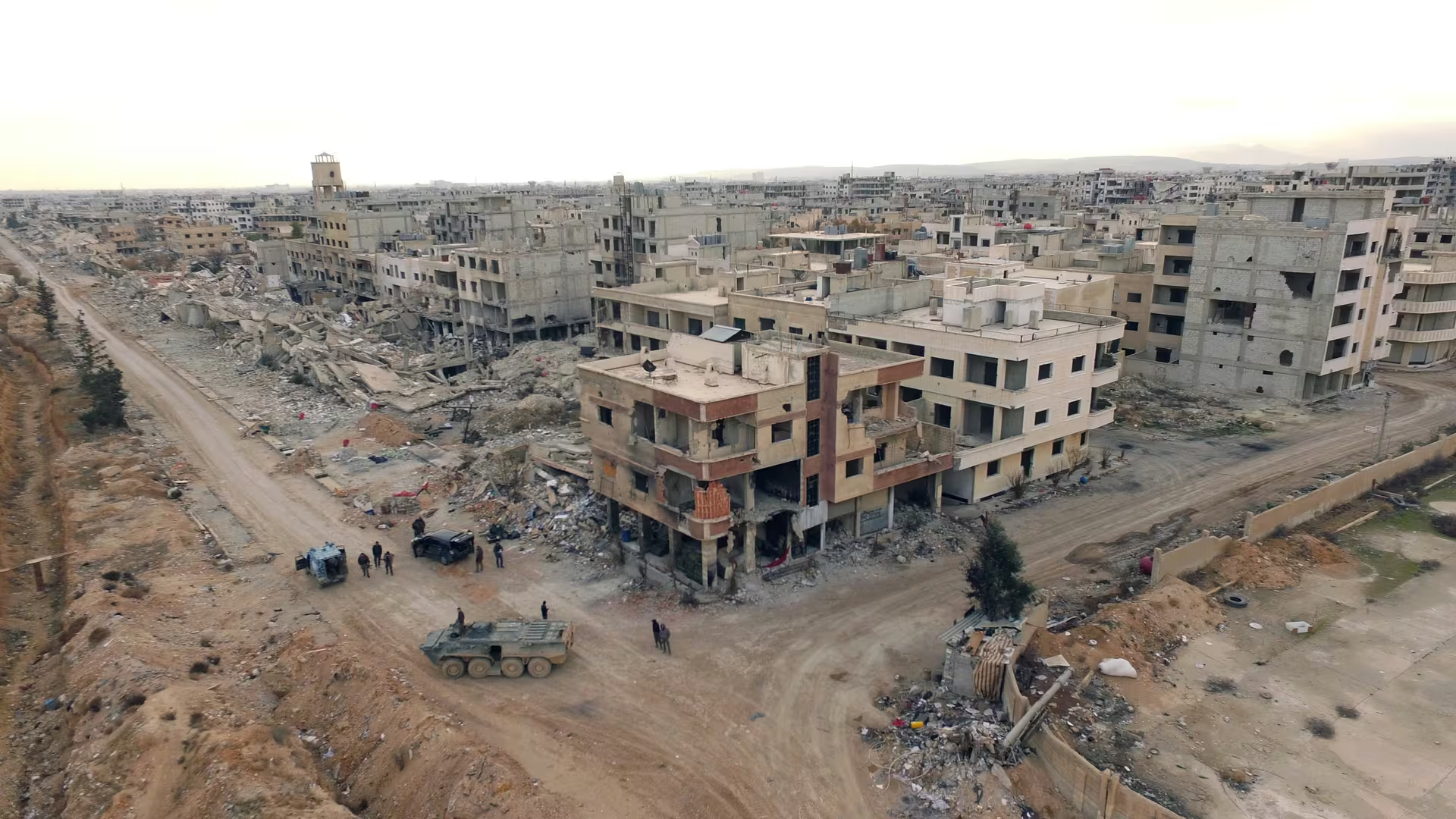
The Joint Damage Assessment of Selected Cities, published by the World Bank Group and the European Union in 2023 and recording damage as of January 2022, puts total damage in Daraya at between US$88.9 million and US$115.4 million. The assessment covers fourteen Syrian cities, and among them Daraya is singled out as the city that lost the most houses relative to its original housing stock, with up to 43 per cent of that stock damaged. Housing damage alone is costed there at US$52–63 million.
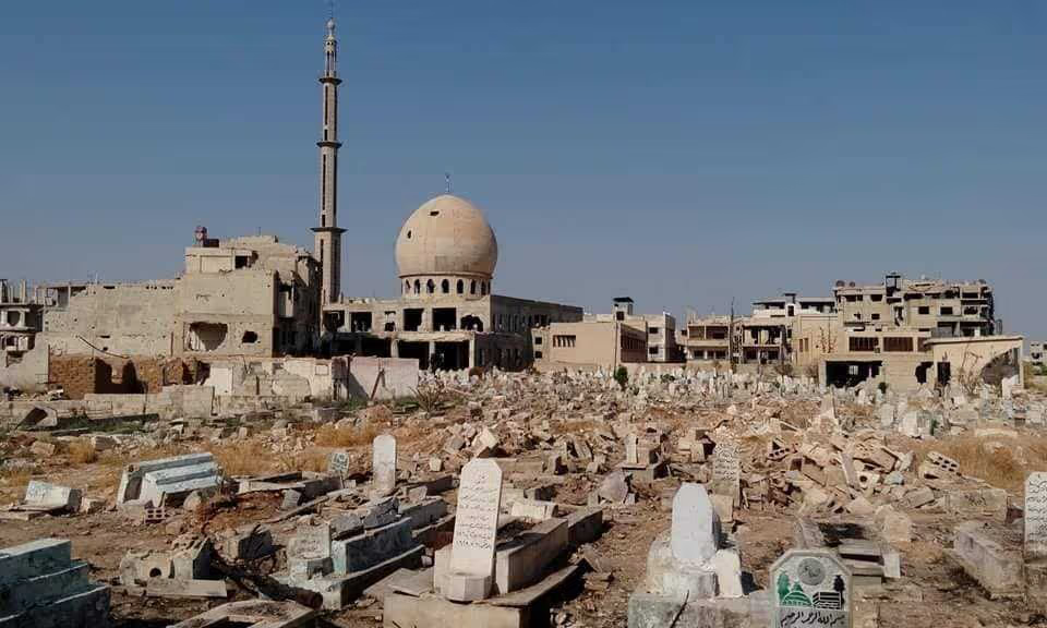
Public services carry a comparable weight in the same assessment. Seven of Daraya's eight health facilities are recorded as not functioning — the greatest loss of health-facility functionality among the fourteen assessed cities — with health-sector damage costed at US$16.0–19.6 million. Of nineteen education facilities assessed, fourteen were found undamaged, yet only 32 per cent were functioning. Damage to cultural-heritage assets is costed at US$2.66–4.56 million, and 7 per cent of the road network was damaged, of which 33 per cent needs major repair and 67 per cent maintenance.
The clearance task ahead is measurable as well. The same assessment estimates the volume of rubble in Daraya at between 291,769 cubic metres under its low scenario and 411,789 cubic metres under its high scenario — a figure that sets the practical starting point for any reconstruction programme in the city, and one that the town's own building trades are placed to work alongside.
.svg)

.png)


.jpeg)